

Anthony Powell, IT manager for Houston Public Works in Texas, didn’t set out to become a strategic GIS leader, let alone the architect behind one of the most ambitious digital transformations in the United States. It was a happy accident.得克萨斯州休斯顿公共工程部的信息技术经理安东尼·鲍威尔起初并未打算成为一名战略性地理信息系统领导者,更不用说成为美国最宏大的数字转型项目之一的幕后架构师了。这纯属一个意外之喜。
While studying architectural drafting by day, he spent his nights digitizing telephone utility assets in a GIS database at a small mapping firm in San Antonio, Texas. That hands-on experience introduced him to spatial data and sparked a passion that would shape his career, beginning in 1988.白天学习建筑制图时,他晚上在得克萨斯州圣安东尼奥的一家小型测绘公司,在地理信息系统数据库中数字化电话公用设施资产。从1988年开始,这种实践经验让他接触到了空间数据,并激发了一种热情,这种热情将塑造他的职业生涯。
“I just fell in love with it,” he recalled. “Not just learning the assets but the logic, the GIS side of it—connecting the dots and understanding what goes into that.”“我一下子就爱上它了,”他回忆道,“不只是学习那些资产,还有其中的逻辑、地理信息系统方面的内容——把各个点联系起来,理解其中的门道。”

By 1992, Powell was helping lead the development of Houston’s first Web GIS platform, which made the city’s utility data accessible online to staff for the first time.到1992年时,鲍威尔已在助力休斯顿首个网络地理信息系统平台的开发工作,该平台首次让城市的公共事业数据能在线供工作人员使用。
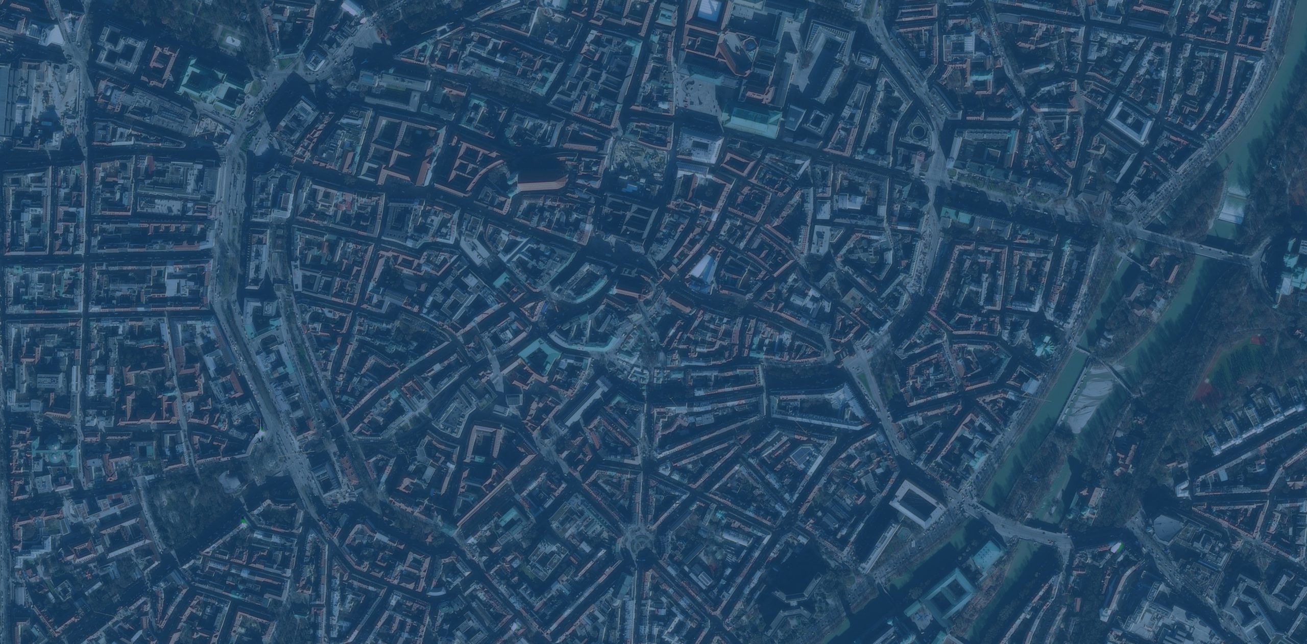
It was the first step in what would become a decade-long transformation. In a city that spans more than 600 square miles and faces constant pressure from flooding, growth, and aging systems, Powell has quietly helped digitize, modernize, and future-proof Houston’s infrastructure.这是一场将持续十年的变革的第一步。在这座面积超过600平方英里、不断面临洪水、发展和系统老化压力的城市里,鲍威尔默默地助力休斯顿的基础设施实现了数字化、现代化,并为其面向未来做好了准备。
From Digitizing Utility Plans to GIS Leader从数字化公用设施规划到地理信息系统领导者
During Houston’s first Web GIS initiative in the 1990s, Powell—then a consultant at a private engineering firm hired to digitize the city’s utility records—helped manage the team tasked with the project. This work supported the development of a state-of-the-art water utility GIS management system for Houston that would later be called the Geographic Information Management System (GIMS).20世纪90年代休斯顿首次开展网络地理信息系统(Web GIS)项目时,鲍威尔当时是一家私人工程公司的顾问,该公司受雇负责将该市的公用事业记录数字化,他协助管理了负责该项目的团队。这项工作为休斯顿开发了一套先进的水务公用事业地理信息系统管理系统,该系统后来被称为地理信息管理系统(GIMS)。
The scope was staggering: More than 15,000 utility plan sets totaling over 1.5 million individual paper sheets, plus thousands of maps and countless engineering field books, needed to be digitized. The work extended over multiple shifts and required clear communication across a large and diverse team.其规模令人震惊:超过15,000套公用设施规划图(总计超过150万张单页图纸),外加数千张地图和数不清的工程现场记录册,都需要进行数字化处理。这项工作涉及多个班次,并且需要庞大而多元化的团队之间保持清晰的沟通。
“That’s where I really built my project delivery and supervisory skills,” Powell said. “You had to keep the big picture in mind.”“我就是在那里真正培养了项目交付和监督技能,”鲍威尔说,“你必须时刻牢记全局。”
The impact of the work was immediate. Mobile crews who once relied on paper drawings stored in file rooms could now access digital maps directly from their trucks—an early example of Powell’s people-first approach to GIS.这项工作的影响立竿见影。曾经依赖存放在档案室的纸质图纸的移动工作组,现在可以直接从他们的卡车里获取数字地图——这是鲍威尔“以人为本”地理信息系统(GIS)方法的一个早期例子。
“We created something they could use anywhere, anytime,” he said. “And they loved it.”“我们创造了他们随时随地都能使用的东西,”他说。“而且他们很喜欢。”
In completing GIMS, Powell saw the full life cycle of GIS—from raw data to real-world application—and how spatial logic could drive smarter decision-making across Houston’s vast public works landscape. It was that end-to-end process, and the variety of challenges it presented, that sparked his deeper interest in GIS and inspired him to explore how technology could be used more effectively in the utility space.在完成GIMS的过程中,鲍威尔见证了地理信息系统(GIS)的完整生命周期——从原始数据到实际应用——以及空间逻辑如何在休斯顿广阔的公共工程领域推动更明智的决策。正是这一端到端的流程,以及它所带来的各种挑战,激发了他对地理信息系统更浓厚的兴趣,并促使他探索如何在公用事业领域更有效地运用技术。
“Afterwards, you look at the extraordinary amount of effort that went into not only learning but building one of the industry’s first geospatial web applications from digital data that didn’t exist. That was very exciting and definitely my ‘wow’ GIS moment,” Powell said.鲍威尔说:“后来,你会发现,人们不仅投入了大量精力去学习,还利用原本不存在的数字数据,打造出了业内首批地理空间网络应用之一。那非常令人激动,无疑是我在地理信息系统(GIS)领域的‘惊叹时刻’。”

That experience not only deepened his passion for GIS but also laid the foundation for a leadership style focused on setting clear goals, building trust, and empowering teams to solve problems creatively.那段经历不仅加深了他对地理信息系统(GIS)的热爱,还为他形成一种注重设定明确目标、建立信任以及赋能团队创造性解决问题的领导风格奠定了基础。
Leading Waves of Digital Transformation引领数字化转型浪潮
Houston Public Works is one of the largest accredited public works agencies in the United States. It manages water, wastewater, stormwater, transportation, engineering, construction permitting, and customer water billing.休斯顿公共工程处是美国最大的获得认证的公共工程机构之一。它负责管理供水、污水处理、雨水处理、交通、工程、施工许可以及客户水费账单业务。
When Powell joined the department in 2005, GIS was still seen as a back-office tool—known only as the “GIMS system”—and was primarily used to print map books and locate water assets. While the city had made early strides with Web GIS, the technology wasn’t integrated much into daily operations.2005年鲍威尔加入该部门时,地理信息系统(GIS)仍被视为一种后台工具——当时仅被称为“GIMS系统”——主要用于打印地图册和定位水利资产。尽管该市在网络地理信息系统方面很早就取得了进展,但这项技术并未过多融入日常运营中。
Powell had a broader vision: “GIS anywhere, at any time,” he said.鲍威尔有着更宏大的愿景:“随时随地的地理信息系统,”他说。
With support from the department’s GIS manager and the GIS team at the time, they worked together to push GIS out into the field and across the department.在当时该部门地理信息系统经理和地理信息系统团队的支持下,他们共同努力将地理信息系统推广到实地和整个部门。
In 2006, Powell led the department’s migration from a custom-built GIMS environment to ArcFM, a commercial off-the-shelf solution from Esri partner Schneider Electric, which streamlined daily edits and utility data maintenance. By 2016, Powell was preparing for the department’s next digital leap: transitioning to Esri’s ArcGIS Utility Network model and building a more modern, robust enterprise GIS environment that could support mobile apps, dashboards, and real-time data across all business units.2006年,鲍威尔带领该部门从定制开发的GIMS环境迁移至ArcFM——这是Esri合作伙伴施耐德电气推出的一款商用现成解决方案,它简化了日常编辑和公用事业数据维护工作。到2016年,鲍威尔已在为该部门的下一次数字化飞跃做准备:向Esri的ArcGIS Utility Network模型过渡,并构建一个更现代化、更强大的企业级GIS环境,该环境能够支持所有业务部门的移动应用程序、仪表盘和实时数据。
To get ready for this, Powell wanted to hear directly from every business unit across the department to understand their operational goals and specific GIS needs. With help from Esri, Powell and his team held workshops with employees in each business unit—including the director’s office—capturing how GIS could support their initiatives and operations and where they could implement process improvements. A transition plan was designed around this feedback.为了为此做好准备,鲍威尔希望直接听取该部门各个业务单元的意见,以了解他们的运营目标和具体的地理信息系统需求。在Esri的帮助下,鲍威尔和他的团队与每个业务单元的员工(包括主任办公室的员工)举办了研讨会,收集了地理信息系统如何支持他们的计划和运营以及他们可以在哪些方面实施流程改进的相关信息。基于这些反馈,他们制定了一个过渡计划。
Changing to a new GIS environment was especially critical for emergency response. Now, emergency response personnel can use mobile tools for windshield assessments (rapid field surveys used to locate damage), predictive flood mapping, and automated reimbursement reporting for the federal government.切换到新的地理信息系统环境对紧急响应而言尤为关键。如今,紧急响应人员可以使用移动工具进行车窗评估(用于确定损坏位置的快速实地调查)、洪水预测绘图以及向联邦政府提交自动报销报告。
Embarking on this kind of transformation required more than technical knowledge and skill. “You have to build relationships and maintain trust, especially in a department this large,” Powell pointed out.开展这类转型不仅需要技术知识和技能。鲍威尔指出:“你必须建立关系并保持信任,尤其是在这样一个庞大的部门里。”
His strategy of centralizing data while empowering subject-matter experts to manage their own systems within a shared framework advanced collaboration. And through it all, Powell emphasized doing things with consistency, commitment, and discipline.他的策略是集中管理数据,同时授权主题专家在共享框架内管理自己的系统,这一策略促进了协作。自始至终,鲍威尔都强调要以一致性、承诺和纪律来行事。
“It’s not just about building solutions,” he said. “It’s about knowing your customer, understanding their pain points, and building a solution around that information—not the other way around.”“这不仅仅是构建解决方案的问题,”他说。“这是了解你的客户,理解他们的痛点,并基于这些信息构建解决方案——而不是反过来。”
The Right Tools for the Job 胜任工作的合适工具
Powell has worn many hats during his tenure within the Public Works Department, including operations manager, GIS manager, interim chief technology officer, and now interim assistant director. Each role has shaped how he leads, listens, and builds systems that last.鲍威尔在公共工程部任职期间身兼数职,包括运营经理、地理信息系统经理、临时首席技术官,如今又担任临时助理主任。每个职位都塑造了他的领导方式、倾听方式以及构建持久系统的方式。

Under Powell’s leadership, Houston Public Works transitioned its enterprise GIS environment from on-premises infrastructure to the cloud. This has improved accessibility, resilience, and collaboration across departments.在鲍威尔的领导下,休斯顿公共工程部门将其企业地理信息系统环境从本地基础设施迁移到了云端。这提高了各部门的访问便利性、系统韧性和协作效率。
“The transition has also created additional options in accessing critical GIS information during emergency events,” Powell said. “As long as you have power and internet access, you are able to leverage the environment and provide support.”鲍威尔说:“这一转变还为在紧急事件期间获取关键的地理信息系统(GIS)信息创造了更多选择。“只要有电力和互联网接入,你就能利用这一环境并提供支持。”
That move laid the groundwork for the department’s next step in extending GIS: using AI to collect and manage a massive inventory of transportation assets across the city.这一举措为该部门拓展地理信息系统(GIS)的下一步工作奠定了基础:利用人工智能收集和管理全市范围内大量的交通资产清单。
“People suggested that we send crews out with mobile apps,” he said. “But since we have millions of signs and signals, that would take years.”“有人建议我们派工作人员携带移动应用出去,”他说。“但由于我们有数百万个标志和信号,这需要好几年时间。”
Powell partnered with a vendor to use AI-powered image recognition technology to scan 360-degree street-level imagery, extract asset locations, and assess their condition. In weeks, the city had a comprehensive, georeferenced inventory—a task that would have taken mobile crews a decade. That data now feeds directly into Houston’s work order system.鲍威尔与一家供应商合作,利用人工智能驱动的图像识别技术扫描360度街道级图像,提取资产位置并评估其状况。几周内,这座城市就拥有了一个全面的、带有地理参考的资产清单——这项任务原本需要移动工作组花费十年时间才能完成。如今,这些数据直接接入休斯顿的工单系统。
Still, Powell is quick to remind his team that technology is only as good as the problem it solves. He encourages his team to explore new technologies—but only after understanding the users and the added value that the solution will provide.不过,鲍威尔很快提醒他的团队,技术的价值取决于它所解决的问题。他鼓励团队探索新技术,但前提是要先了解用户以及该解决方案将带来的附加价值。
“You’ve got to know what you’re trying to achieve,” he said. “Then choose the right tool for the job.”“你必须清楚自己想要达成什么目标,”他说,“然后为这项工作选择合适的工具。”
Throughout his career in Houston—navigating change, innovating, and building trust—Powell has come to believe that a successful GIS career is deeply personal and different for everyone.在休斯顿的职业生涯中,鲍威尔不断应对变革、进行创新并建立信任,他逐渐认为,成功的地理信息系统(GIS)职业生涯极具个人色彩,且因人而异。
“There are various levels to having a successful GIS career,” he said. “After you figure out the level that satisfies you, accept it, be committed, and be true to it.”“拥有成功的地理信息系统职业生涯有多个层面,”他说。“当你找到能让自己满意的层面后,就要接受它,全身心投入,并坚守初心。”
For Powell, whether building a system or mentoring a team member, he listens first, solves problems thoughtfully, and never cuts corners. That commitment has defined his four-decade career and continues to shape Houston’s GIS future.对于鲍威尔而言,无论是构建系统还是指导团队成员,他都会先倾听,深思熟虑地解决问题,而且从不走捷径。这份投入塑造了他长达四十年的职业生涯,并将继续影响休斯顿地理信息系统的未来。


没有回复内容