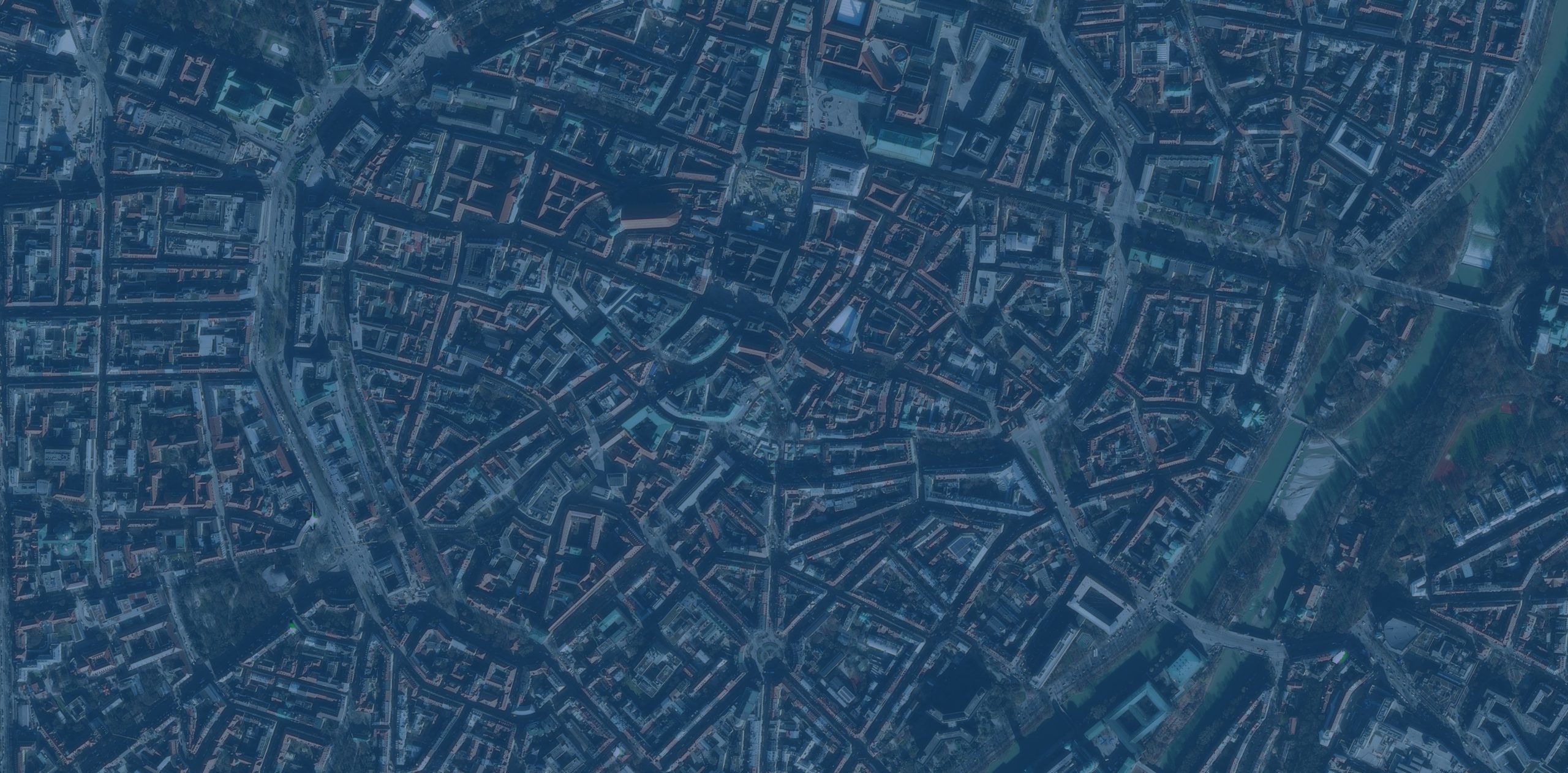


For nations in the Asia-Pacific region—including Japan, South Korea, China, Australia, New Zealand, Indonesia, the Philippines, and a host of small island developing states (SIDS)—there is little debate about the realities and dangers of rising sea levels, changing weather patterns, increasing temperatures, and other human-caused climate anomalies. In 2022, this area, which has been called the world’s most disaster-prone region, experienced a disproportionately high number of natural disasters, causing over 7,500 deaths and impacting 64 million people. Most of the debate surrounding these events focuses on how to make communities in the Asia-Pacific region more adaptable and resilient.对于亚太地区的国家——包括日本、韩国、中国、澳大利亚、新西兰、印度尼西亚、菲律宾以及众多小岛屿发展中国家而言,海平面上升、天气模式变化、气温升高以及其他人为造成的气候异常所带来的现实影响和危险是毋庸置疑的。2022年,这个被称为全球最易遭受灾害的地区遭遇了数量多得不成比例的自然灾害,导致超过7500人死亡,6400万人受到影响。围绕这些事件的大多数讨论都集中在如何让亚太地区的社区更具适应性和韧性上。
Climate resilience is a top priority for the Pacific SIDS, and island leaders are vocal about the international support their communities need. Regional organizations such as the Pacific Community (known by the acronym SPC) and the Secretariat of the Pacific Regional Environment Program (SPREP) foster collaboration among member nations on cross-sector scientific and technical projects focused on climate change mitigation and adaptation, disaster resilience, sustainable ocean management, sustainable tourism, and cultural preservation. Esri, its distributors, and some business partners are working with SPC and SPREP, helping members leverage geospatial technology more effectively as they prepare for and adapt to evolving climate realities.气候韧性是太平洋小岛屿发展中国家的首要任务,岛屿领导人也明确表示其社区需要国际社会的支持。太平洋共同体(简称SPC)和太平洋区域环境规划署秘书处(SPREP)等区域组织促进成员国之间在跨部门科学和技术项目上的合作,这些项目聚焦于减缓与适应气候变化、抗灾韧性、可持续海洋管理、可持续旅游业以及文化保护。Esri及其分销商和部分商业合作伙伴正与SPC和SPREP开展合作,帮助各成员国更有效地利用地理空间技术,以应对不断变化的气候现实并做好适应准备。

While all these nations experience the acute impacts of climate change, they vary in their commitments to adapting and building resilience. To help, Esri emphasizes the importance of spatial analysis and effective information sharing, implemented within an integrated geospatial infrastructure of hubs, dashboards, ArcGIS StoryMaps stories, and mobile apps. Geospatial apps for SIDS support a range of uses, from siting marine protected areas and deciding on optimal locations for offshore renewable energy infrastructure to promoting tourism with compelling maps and planning local resilience strategies. Esri often provides consulting services to governments of low- and middle-income SIDS to help them modernize official statistics for land administration, national mapping, and health information systems, as well as their national disaster response management efforts.虽然所有这些国家都经历着气候变化带来的严重影响,但它们在适应和建设韧性方面的承诺各不相同。为提供帮助,Esri强调空间分析和有效信息共享的重要性,这些需在一个整合的地理空间基础设施中实施,该基础设施包括枢纽、仪表盘、ArcGIS StoryMaps故事和移动应用程序。针对小岛屿发展中国家的地理空间应用支持多种用途,从确定海洋保护区的位置、选择离岸可再生能源基础设施的最佳地点,到通过引人入胜的地图促进旅游业以及规划地方韧性战略。Esri经常为中低收入小岛屿发展中国家的政府提供咨询服务,帮助它们实现土地管理、国家测绘和健康信息系统的官方统计现代化,以及推进国家灾害应对管理工作。
None of these issues can be tackled by governments alone; rather, they are matters that affect whole societies and require significant cooperation between the public and private sectors. Yes, governments should lead, but the private sector frequently offers the greatest innovation, funding, and motivation to make climate action a sustainable reality. Simon Hill, the leader of Esri’s national government and public safety team in the Asia-Pacific region, often talks about the powerful duality of people and processes that ultimately makes the difference: Strong leadership drives process change.这些问题都无法仅靠政府来解决;相反,它们是影响整个社会的事务,需要公共部门和私营部门之间开展广泛合作。诚然,政府应当发挥主导作用,但私营部门往往能提供最具创新性的方案、资金支持以及动力,使气候行动成为可持续的现实。Esri亚太地区国家政府与公共安全团队负责人西蒙·希尔经常谈到,人与流程的强大双重作用才是最终产生影响的关键:强有力的领导力推动流程变革。
What’s happening in the Asia-Pacific region is a huge opportunity for spatial technology. People there need integrated geospatial infrastructure to connect disparate data so they can analyze it in context and make critical decisions. For island nations, it is now possible to integrate environmental data with demographic and census data, and map detailed aspects of everyday life, various ecosystems, and more. This is key to tackling the current challenges that SIDS face and seizing opportunities in the future.亚太地区正在发生的一切为空间技术带来了巨大机遇。那里的人们需要整合的地理空间基础设施来连接零散的数据,以便他们能够结合具体情境对数据进行分析并做出关键决策。对于岛屿国家而言,如今已经能够将环境数据与人口统计数据和普查数据整合起来,并绘制出日常生活、各种生态系统等方面的详细地图。这是应对小岛屿发展中国家当前面临的挑战以及抓住未来机遇的关键。
To that end, Esri is deeply involved in the SDG Data Alliance, an open, community-driven, multi-stakeholder partnership led by Dr. Greg Scott of the PVBLIC Foundation that aims to bring GIS to developing nations around the world to help them achieve the 2030 Sustainable Development Goals, or SDGs. For SIDS in particular, the SDG Data Alliance has evolved into one of the world’s leading initiatives for creating open datasets, maps, and web apps—and, hence, brings opportunity, access, and equity to underserved communities. The SDG Data Alliance does this by supporting the creation of country-level geospatial action plans ensuring that geospatial information is developed, maintained, and accessible. These plans are supported by SDG Data Hubs, which enable governments and other organizations to report and monitor progress toward achieving the SDGs.为此,Esri 深度参与了 可持续发展目标数据联盟(SDG Data Alliance)。这是一个开放的、由社区驱动的多利益相关方合作伙伴关系,由 PVBLIC 基金会的格雷格·斯科特博士牵头,旨在将地理信息系统(GIS)引入全球发展中国家,帮助它们实现 2030 年可持续发展目标(SDGs)。特别是对于小岛屿发展中国家(SIDS)而言,可持续发展目标数据联盟已发展成为全球领先的倡议之一,致力于创建开放数据集、地图和网络应用程序,从而为服务不足的社区带来机遇、获取途径和公平性。该联盟通过支持制定国家级地理空间行动计划来实现这一目标,确保地理空间信息得到开发、维护和普及。这些计划得到可持续发展目标数据中心的支持,该中心使各国政府和其他组织能够报告和监测实现可持续发展目标的进展情况。

Since the inception of the SDG Data Alliance in 2021, Esri—as a founding partner—has provided grants of ArcGIS technology, suites of SDG-specific GIS solutions, and in-kind Esri Professional Services support to bolster the geospatial capacity of developing nations. All these efforts assist governments and other organizations in building their own tools to report progress on the SDGs, support national development priorities, and communicate the status of those priorities to key stakeholders and the international community.自2021年可持续发展目标数据联盟成立以来,作为创始合作伙伴的Esri公司提供了ArcGIS技术资助、一系列特定于可持续发展目标的地理信息系统解决方案,以及Esri专业服务的实物支持,以增强发展中国家的地理空间能力。所有这些努力都有助于各国政府和其他组织开发自己的工具,用于报告可持续发展目标的进展、支持国家发展优先事项,并向主要利益相关者和国际社会通报这些优先事项的状况。
The SIDS Global Data Hub aids island nations in using geospatial technology to build a more resilient future. A major accomplishment for the SDG Data Alliance is the planned rollout of 10 country-level SDG Data Hubs for SIDS, including Fiji, Palau, Tonga, and Tuvalu, as well as Antigua and Barbuda and Grenada in the Caribbean, and the Maldives, Mauritius, and Seychelles in the Indian Ocean. This is thanks to the continued technical support of Esri, along with a renewed grant from the W.K. Kellogg Foundation. Scott has also led a concerted effort to add more partners to the SDG Data Alliance, resulting in a new partnership agreement with the SPC to support collective SIDS initiatives and a new agreement with Esri partner Fugro to support the needs of SIDS—initially in the Caribbean but eventually extending to Asia Pacific.小岛屿发展中国家全球数据中心帮助岛屿国家利用地理空间技术构建更具韧性的未来。可持续发展目标数据联盟的一项重大成就是计划为小岛屿发展中国家推出10个国家级可持续发展目标数据中心,包括斐济、帕劳、汤加、图瓦卢,以及加勒比地区的安提瓜和巴布达、格林纳达,还有印度洋的马尔代夫、毛里求斯和塞舌尔。这得益于Esri持续的技术支持,以及W.K.凯洛格基金会的新一轮赠款。斯科特还牵头协同努力,为可持续发展目标数据联盟增加了更多合作伙伴,与南太平洋委员会达成了新的合作协议以支持小岛屿发展中国家的集体倡议,并与Esri的合作伙伴辉固公司达成了新协议,以满足小岛屿发展中国家的需求——最初是在加勒比地区,最终将扩展到亚太地区。
These are just a few of the many climate action developments that Esri is involved in with users and partners across the planet. At Esri, we remain in a mode of what I call “purposeful frenzy” as climate change continues to pose a critical challenge requiring immediate and effective action. I hope these developments will encourage and inspire you to participate in some of these programs or spread the word about them whenever and wherever possible, especially if you reside in or advocate for the Asia-Pacific region.这些只是Esri与全球用户和合作伙伴共同参与的众多气候行动进展中的几个例子。在Esri,由于气候变化持续构成严峻挑战,需要立即采取有效行动,我们始终处于我所说的“有目的的忙碌”状态。我希望这些进展能鼓励并激励你参与其中一些项目,或者在任何可能的时间和地点宣传它们,特别是如果你居住在亚太地区或为该地区发声的话。


没有回复内容